PostGis is used in
We are prepared to transform your hydrographic data into a web-based Hydrographic Database Management System with GIS tools (HIS).
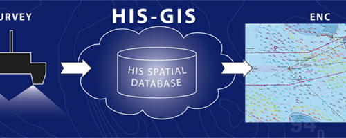
HIS is an information system for managing and presenting data from hydrographic surveys.
It can also produce high quality fairsheets to simplify the process of the production of electronic navigational charts.
Maritime safety
Hydrographers and Cartographers can take decisions based on location information. It is a vital feature considering the constant changing of the underwater situation.
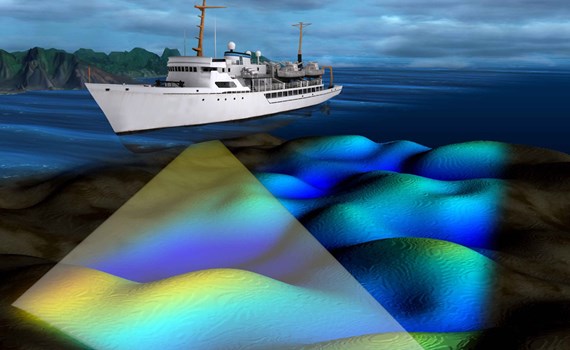
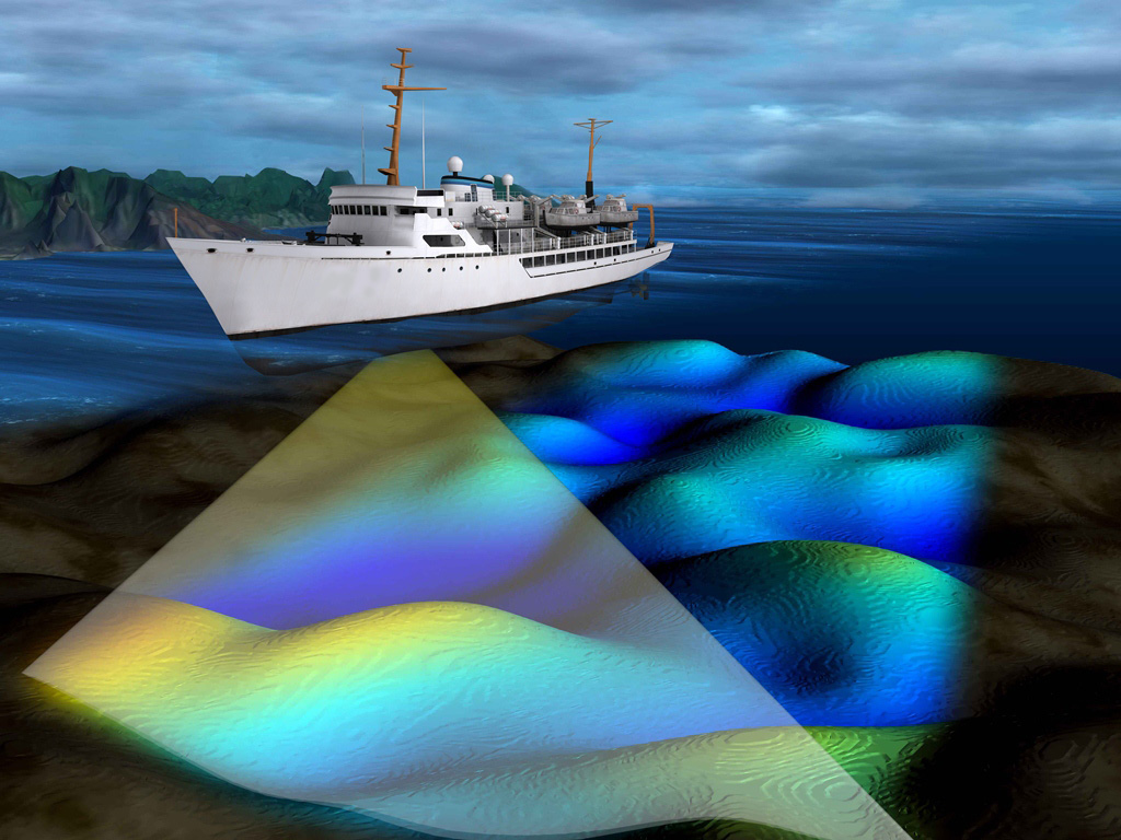
The system consists of two main parts: a seamless database of depths (soundings) and a database of objects. The objects for the system are collected from hydrographic surveys – survey areas, wrecks, navigational marks, rocks and obstructions.
For every object extensive information can be stored in HIS, containing its location, classification and attributes, and also images. HIS also provides a wide range of user-friendly GIS management tools for managing and presenting surveyed data.
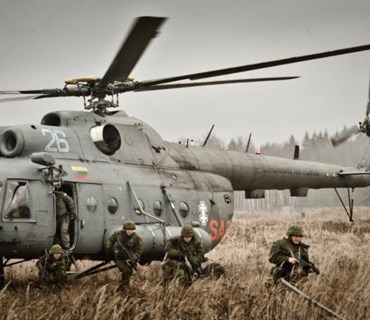
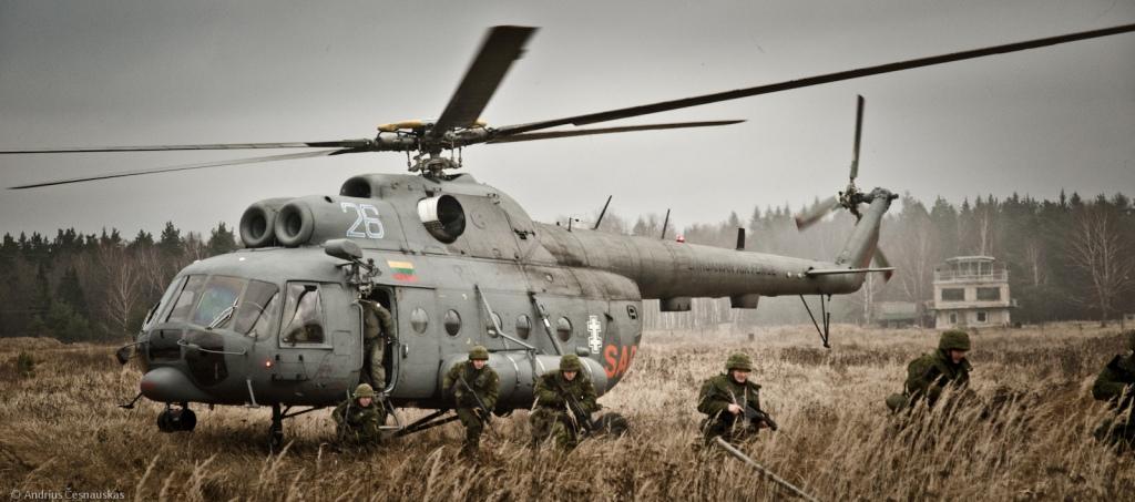
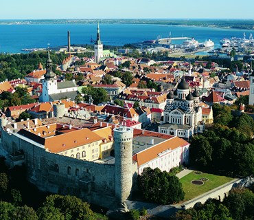
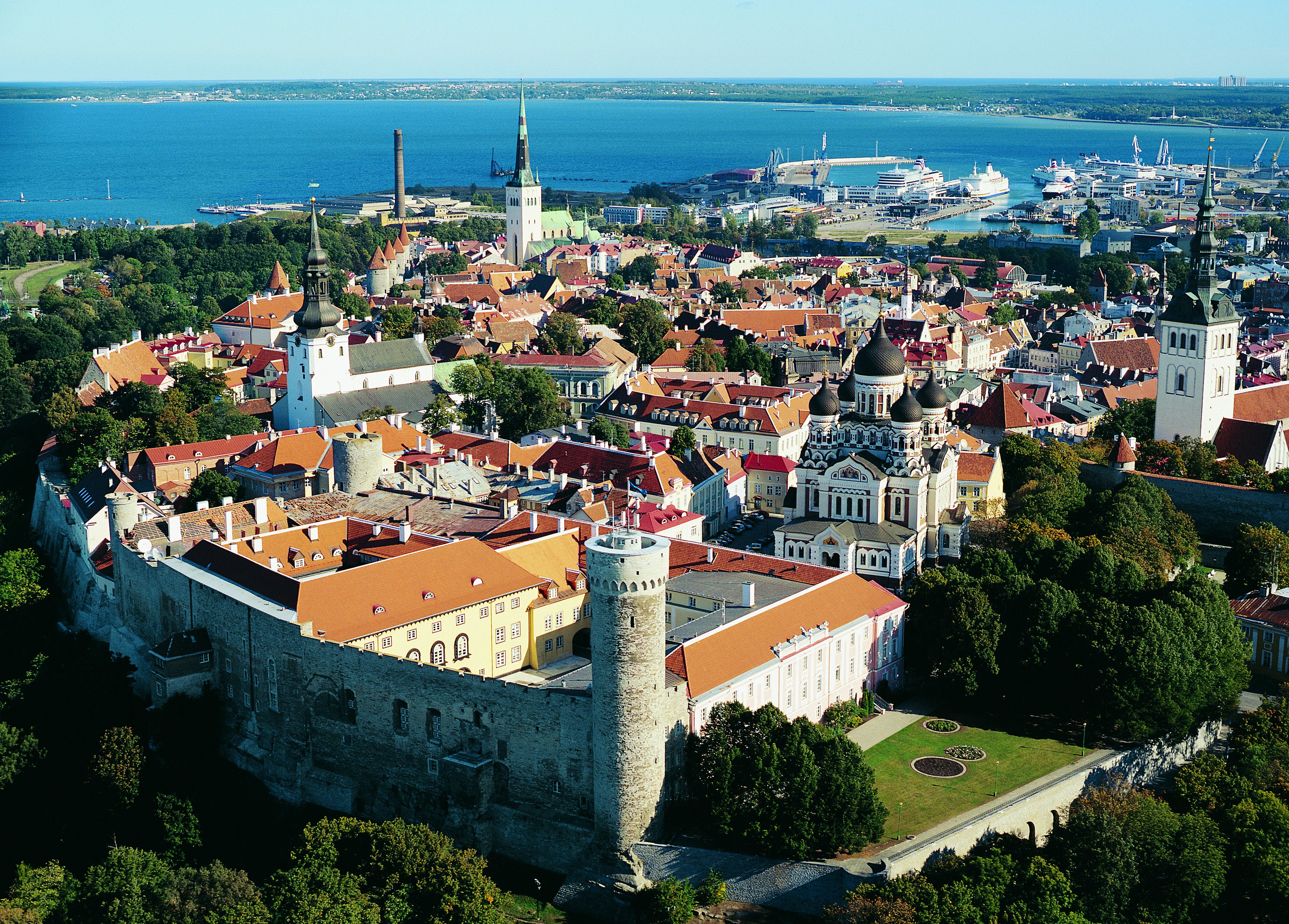
Estonian Transport Administration
Url: www.transpordiamet.ee/en
The principal aim of Maritime Administration is to ensure safe navigation in territorial and inland waters.
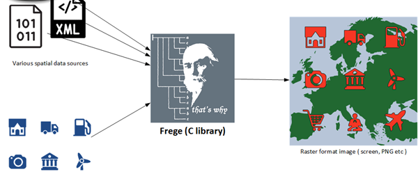
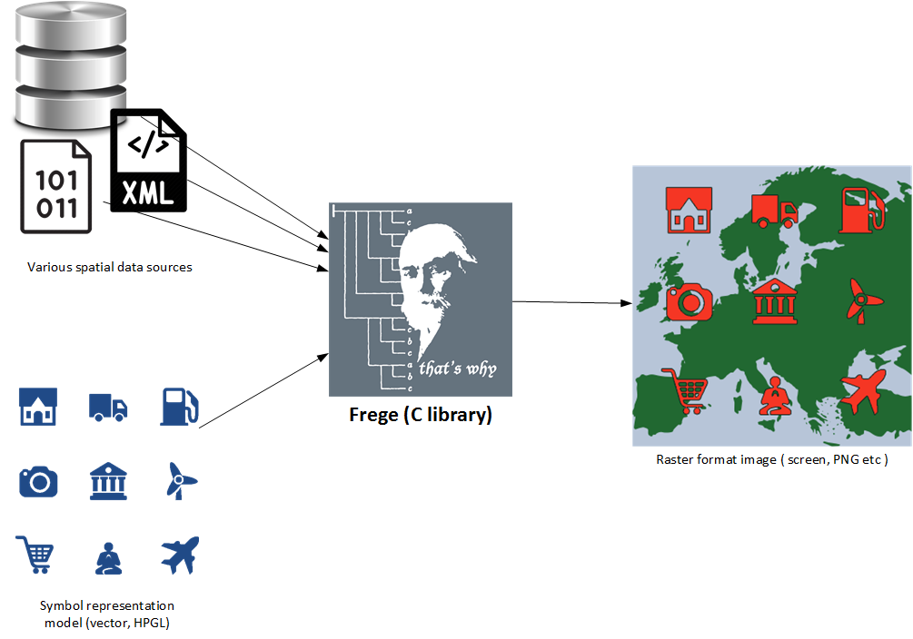
3d map library "Frege"
in short
Frege is a C library that is used for superfast image generation of three dimensional spatial data. It was historically developed for air traffic control software – APOI PRIOR radar processing system on 1992.
Ever since Frege has been the cornerstone for all the software solutions developed by R-Systems.
top down
inside out
Current users
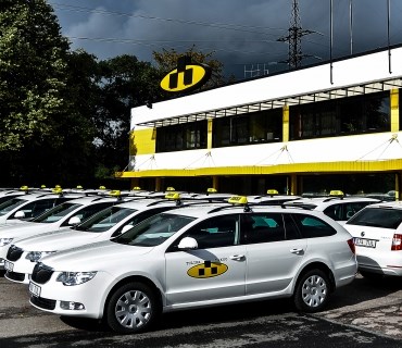
Tulika Group
Url: www.tulika.ee
Tulika Takso is the oldest and largest taxi company in Estonia. In 2014 our car park includes 215 white taxis.