Out experience in maritime
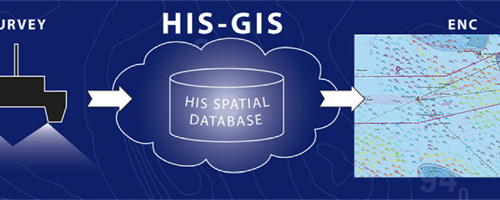
We are prepared to transform your hydrographic data into a web-based Hydrographic Database Management System with GIS tools (HIS).
HIS is an information system for managing and presenting data from hydrographic surveys.
It can also produce high quality fairsheets to simplify the process of the production of electronic navigational charts.
Maritime safety
Hydrographers and Cartographers can take decisions based on location information. It is a vital feature considering the constant changing of the underwater situation.
The system consists of two main parts: a seamless database of depths (soundings) and a database of objects. The objects for the system are collected from hydrographic surveys – survey areas, wrecks, navigational marks, rocks and obstructions.
For every object extensive information can be stored in HIS, containing its location, classification and attributes, and also images. HIS also provides a wide range of user-friendly GIS management tools for managing and presenting surveyed data.
Estonian Transport Administration
Url: www.transpordiamet.ee/en
The principal aim of Maritime Administration is to ensure safe navigation in territorial and inland waters.
Minehunting operations and information system
Supporting all the phases of the mine hunting operations: planning, operation and reporting. The data handling and data exchange of the detected, classified and identified sonar contacts is entirely based on the NATO AML-SBO (Additional Military Layers, Small Bottom Objects) electronic chart concept.
- Mission planning and preparation
- Surveying / mine hunting
- Sensor data processing.
- Operation data presentation.
- Supplementary data presentation.
- Geographical grid systems
- Sonar contacts processing.
- Remote Operating Vehicle support.
- Navigation objects editing.
- Data records.
- Report generation.
- Data exchange.
- Ergonomics.
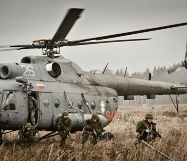
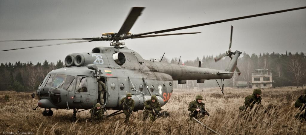
Estonian Defence Forces
Url: www.mil.ee
Estonia's defence policy aims to guarantee the preservation of the independence and sovereignty of the state, the integrity of its land area, territorial waters and airspace and its constitutional order.
IT strategy and architecture
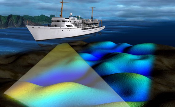
Comprehensive hydrographic survey software
ran
The primary task of the survey software is to collect and store bathymetric data.
It also provides tools for survey planning and data visualization.
Among the possibilities of the software is also the analysis of the quality and sufficiency of the collected data.
aegir
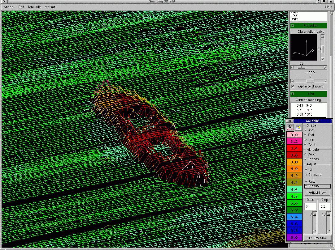
The task of the cleaning software is to check and filter out erroneous bathymetric data.
As a result, trustworthy soundings are obtained, which can be issued and also used for the analysis of the bottom relief.
Among the possibilities of the cleaning software is also marking of the discovered underwater objects directly on the chart.
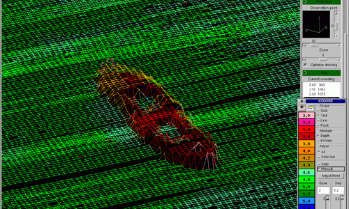 ship wreck
Estonian Transport Administration
Url: www.transpordiamet.ee/en
The principal aim of Maritime Administration is to ensure safe navigation in territorial and inland waters.