3d map library "Frege"
in short
Frege is a C library that is used for superfast image generation of three dimensional spatial data. It was historically developed for air traffic control software – APOI PRIOR radar processing system on 1992.
Ever since Frege has been the cornerstone for all the software solutions developed by R-Systems.
top down
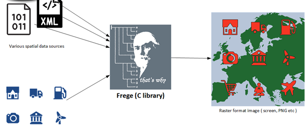
inside out
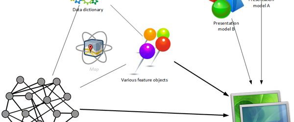
Real-time superfast
It is a very thin abstract layer of C functions with pointer arguments, which take virtually no time to execute.
Flexible
It is a highly abstract C library, with no limitations. The source code is has also well documented reference, and is open for modification.
Highly reliable
The library was initially written to server mission critical applications, like the Air Traffic Control.
3D
Contrary to common geographical API-s, e.g Google Maps, the spatial objects in Frege include the Z-dimension. Distance from the center of the Earth.
Modular
In addition to various number of data sources, the system also supports simultaneous manipulation of various number of maps and presentation models
Multiple data sources
The library has no limits to the data sources it can use. E.g. fetch data from multiple SQL databases and binary data files simultaneously.
Views are the output of the system - the window into the database, used for:
- image of the map data
- results of search
Views render map data via specific presentation model, and deliver the real life medium.
It has the following properties:
- size and a scale
- visible object classes
- presentation model to use, including the presentation parameters
- output device
- Display of X Window System
- Raster image file, eg PNG
- NULL, used for searching purposes
They define the visual appearance of the map data. One presentation model can be used by multiple maps.
Maps are collations of spatial and feature objects. Each map has one or more presentation models, which are visualized through views.
Maps are interactive. Change of an object reflects on all the views real-time.
For example: road, city or airplane
- Geometrical primitive (point, line, area)
- Class and parameters as defined in data dictionary
- Links to spatial objects
- Scale
The management of hierarchical spatial objects, with 3D location
- Single point
- Connected point (e.g. line beginning)
- Borderline
- Area
Data dictionary is the central object of the Frege library. It contains the structure of map objects (spatial, feature) and presentation model.
Used to describe the previous objects
Initialize the system – fInit
Load the map data - fMapRead
Create the view - fViewCreate, fViewSetDevParam
Load the presentation model - fViewSetLUTMask, fViewSetColorScheme
Draw the map, per request or in loop – fViewSetFocus, fViewDraw
Clean up – fViewDestory, fMapDestory, fEnd
Current users

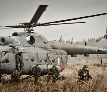
Estonian Defence Forces
Url: www.mil.ee
Estonia's defence policy aims to guarantee the preservation of the independence and sovereignty of the state, the integrity of its land area, territorial waters and airspace and its constitutional order.
Estonian Transport Administration
Url: www.transpordiamet.ee/en
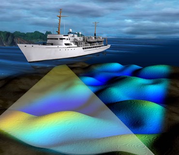
The principal aim of Maritime Administration is to ensure safe navigation in territorial and inland waters.
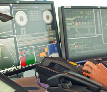
Estonian Air Navigation Services
Url: www.eans.ee
Estonian Air Navigation Services provides quality services to air traffic in accordance with international standards as well as to ensure flight safety in Tallinn Flight Information Region. The sole owner of the company shares is the Republic of Estonia.

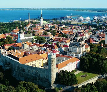
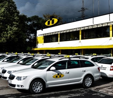
Tulika Group
Url: www.tulika.ee
Tulika Takso is the oldest and largest taxi company in Estonia. In 2014 our car park includes 215 white taxis.
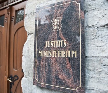
Ministry of Justice, Estonia
Url: www.just.ee
The main duty of the Ministry of Justice is to plan and to carry out a legal and criminal policy of the state, which will help ensure an open and secure society, where people may be assured of the use and protection of their rights.
Eltel Networks
Url: www.eltelnetworks.com
Eltel is a leading European provider of technical services for the critical infrastructure networks – Infranets – of our society when it comes to power, communication and transportation.
