Comprehensive hydrographic survey software
ran
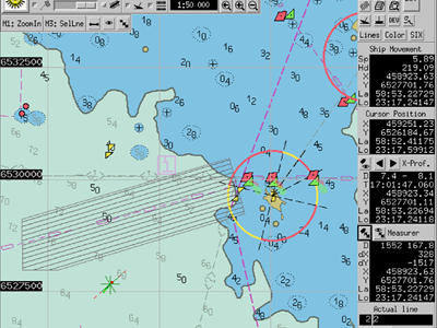
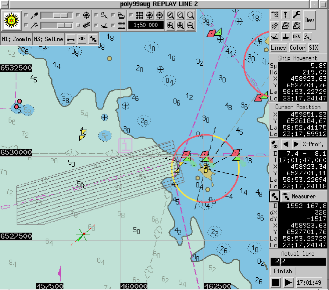
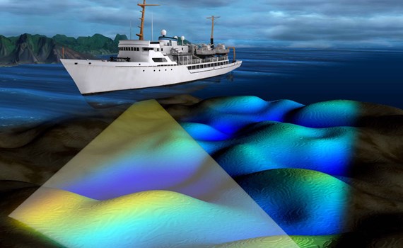
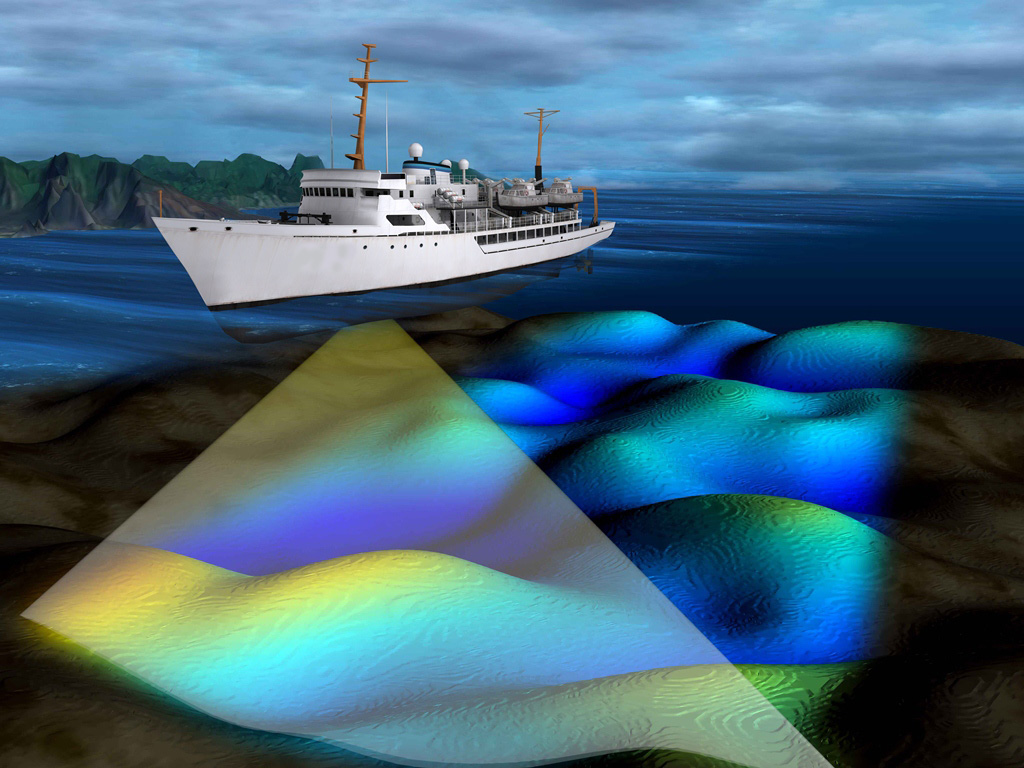
The primary task of the survey software is to collect and store bathymetric data. It also provides tools for survey planning and data visualization. Among the possibilities of the software is also the analysis of the quality and sufficiency of the collected data.
- Planning of survey jobs (graphical editing of the survey plan)
- Reading data from sonar, GPS-receiver, (gyro) compass and motion sensor.
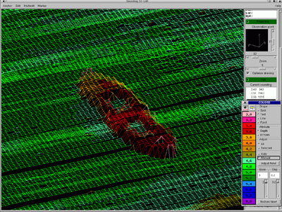
- Presenting the collected data recalculated into soundings both on the background of the chart and as a three-dimensional bottom relief.
- Storing collected data.
- Presenting the information necessary for navigation to the helmsman on a separate screen.
- Checking the sounding coverage of the survey area.
- Marking discovered objects directly on chart.
aegir
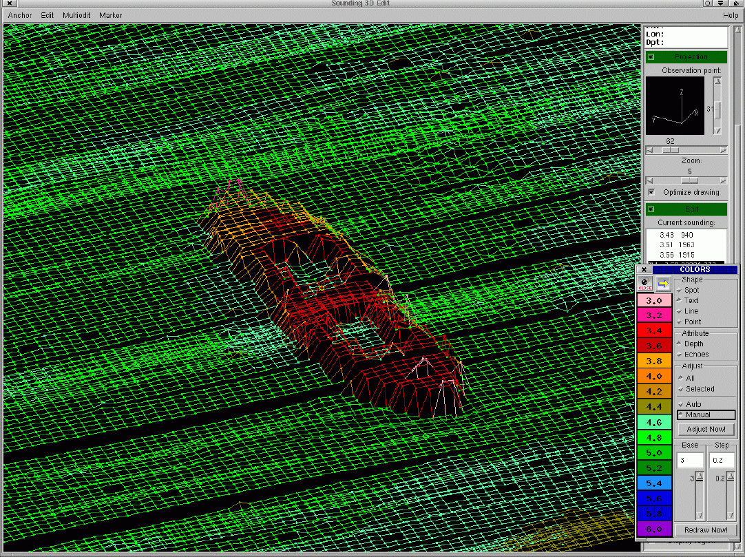
The task of the cleaning software is to check and filter out erroneous bathymetric data. As a result, trustworthy soundings are obtained, which can be issued and also used for the analysis of the bottom relief. Among the possibilities of the cleaning software is also marking of the discovered underwater objects directly on the chart.
- Searching for and removing the occasional errors in the collected data.
- Interactive editors and automatic filters.
- Visualising and analysing the bottom profile.
- Special echo selecting techniques for multiecho sonars, large volume handling (hundreds of millions soundings)
- Searching and marking the discovered underwater objects on the chart.
- Analysing the quality of survey- both the area coverage and accuracy of measurement.
- Exporting checked soundings to cartographic GIS or other analysing systems.
Estonian Transport Administration
Url: www.transpordiamet.ee/en
The principal aim of Maritime Administration is to ensure safe navigation in territorial and inland waters.