Linux Motif library
Supporting all the phases of the mine hunting operations: planning, operation and reporting. The data handling and data exchange of the detected, classified and identified sonar contacts is entirely based on the NATO AML-SBO (Additional Military Layers, Small Bottom Objects) electronic chart concept.
- Mission planning and preparation
- Surveying / mine hunting
- Sensor data processing.
- Operation data presentation.
- Supplementary data presentation.
- Geographical grid systems
- Sonar contacts processing.
- Remote Operating Vehicle support.
- Navigation objects editing.
- Data records.
- Report generation.
- Data exchange.
- Ergonomics.

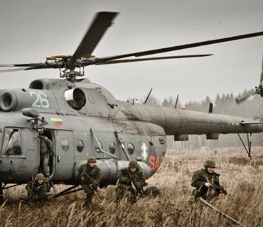
Estonian Defence Forces
Url: www.mil.ee
Estonia's defence policy aims to guarantee the preservation of the independence and sovereignty of the state, the integrity of its land area, territorial waters and airspace and its constitutional order.
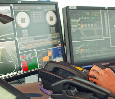
Flightwatch For Airport
- The FlightWatch Server
- The link to Air Traffic Control center
- The Airport Dispatcher Workstation
- The Radar and Flight Data Monitors
- Noise Monitoring System
For linking the flights with radar data the FlightWatch system exploits the associations between the radar code and the flight plan created by air traffic controllers. The flights are determined according to the flight CallSign. The active flights table is created, where the flight plan data is collected and relevant changes are made. The active flights table is supplemented with the secondary source radar (SSR) code after the air traffic controller has made the appropriate association.
The result is displayed int workstations on cartographic background.

Estonian Air Navigation Services
Url: www.eans.ee
Estonian Air Navigation Services provides quality services to air traffic in accordance with international standards as well as to ensure flight safety in Tallinn Flight Information Region. The sole owner of the company shares is the Republic of Estonia.
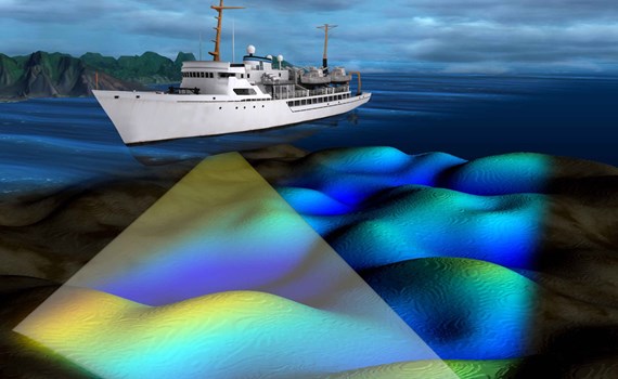
Comprehensive hydrographic survey software
ran
The primary task of the survey software is to collect and store bathymetric data.
It also provides tools for survey planning and data visualization.
Among the possibilities of the software is also the analysis of the quality and sufficiency of the collected data.
aegir
The task of the cleaning software is to check and filter out erroneous bathymetric data.
As a result, trustworthy soundings are obtained, which can be issued and also used for the analysis of the bottom relief.
Among the possibilities of the cleaning software is also marking of the discovered underwater objects directly on the chart.
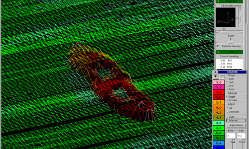 ship wreck
Estonian Transport Administration
Url: www.transpordiamet.ee/en
The principal aim of Maritime Administration is to ensure safe navigation in territorial and inland waters.
